Marahau to Anchorage
Time: 4 hr
Distance: 12.4 km
French names left by Dumont d’Urville and his crew add character to this part of the journey. At the Marahau information kiosk, a causeway crosses the estuary. On the far side of the estuary the track passes through open country to Tinline Bay.
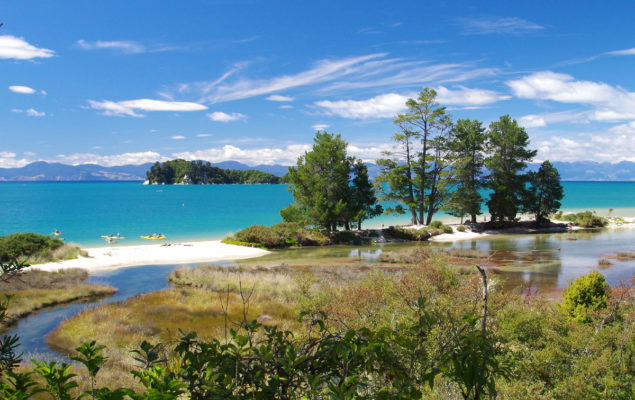
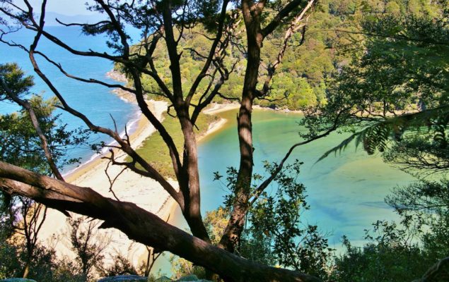
The track rounds Guilbert Point to Apple Tree Bay then passes through beech forest with large kanuka trees. After Yellow Point it turns inland, winding in and out of several little gullies before emerging in open country overlooking Torrent Bay and the coast and islands to the north.
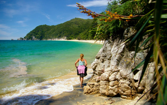
Descend to Anchorage Bay where there is a hut and campsite.
Tinline Bay Nature Walk
From the campsite a 20 minute loop track leads up Tinline Creek meandering through lowland coastal forest.
Te Pukatea / Pitt Head
A 20 minute walk crosses a low ridge from Anchorage Hut to crescent-shaped Te Pukatea Bay. From there a 1 hour walk with good views leads to Pitt Head, an old pa site, and back to Anchorage.
Falls River
A track heads inland from near Torrent Bay Village camp to the Falls River falls. Allow 3 hours return. A shorter option for those with less time is the Cascade Falls on the same track. Allow 1 hour 30 minutes return.
Sandfly Bay
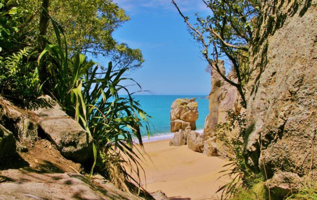
A steep 5 minute scramble about 30 minutes before Bark Bay takes you down to the secluded and very scenic Sandfly Bay (don’t let the name put you off!)
Bark Bay to Awaroa
Time: 3 hr
Distance: 11.4 km (tidal)
Cross Bark Bay estuary or follow the all-tide track around its edge and climb steeply to a saddle. Here you lose all sense of the sea below as you journey through stands of Manuka.
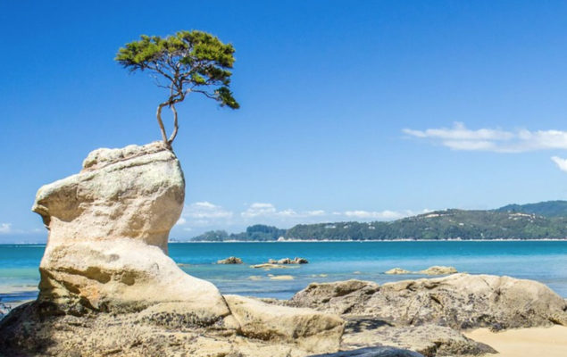
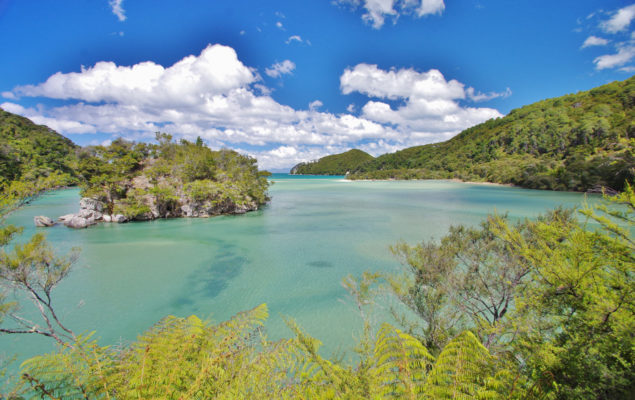
Return to the shore at Tonga Quarry, where blocks of granite remain from an old quarrying operation. Tonga Island sits offshore surrounded by marine reserve. A short distance on is Onetahuti Bay. The track then climbs over Tonga Saddle and descends to Awaroa Inlet. Follow the shore for 15 minutes to Awaroa Hut and campsite.
Awaroa to Totaranui
Time: 2 hr 30 min
Distance: 5.5 km (tidal)
Awaroa Estuary can only be crossed close to low tide. The estuary should definitely only be crossed up to one and a half hours before low tide and up to two hours after it. (Following very heavy rain the estuary may be impassable.) From its northern side the track crosses a low saddle and drops to Waiharakeke Bay, where a timber mill once operated.
The track re-enters the forest then emerges at Goat Bay, from where it climbs then descends to a lookout above Skinner Point before descending to Totaranui. Follow the road through the main camping ground to the camp office, Sea Shuttle pickup point and Coast Track walkers campsite.
Totaranui to Whariwharangi
Time: 3 hr
Distance: 7.5 km
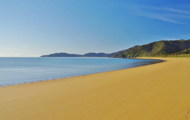
The track heads around Totaranui estuary, climbs over a low saddle and winds down through lush forest to Anapai Bay. From here to Mutton Cove, travel alternates between sandy beaches and rocky headlands of regenerating Kanuka.
Leave the coast at Mutton Cove and climb to another saddle. From here the track descends to Whariwharangi Bay. Add 1 hour to travel via Separation Point. The hut a restored farm homestead and campsite are just behind the beach.
Whariwharangi to Wainui
Time: 1 hr 30 min
Distance: 5.5 km
From Whariwharangi Hut follow a small stream then climb out of the bay to a saddle overlooking Wainui Inlet. The track winds down to the shore around gorse-covered ridges recovering from a 1978 fire, then follows the estuary edge for 500 metres to the carpark. It is possible to cross Wainui Inlet within two hours either side of low tide.